

Special weather statement in effect for: Niagara Falls - Welland - Southern Niagara Region, St. Catharines - Grimsby - Northern Niagara Region
Significant rainfall later today and tonight followed by very strong winds early Wednesday morning.
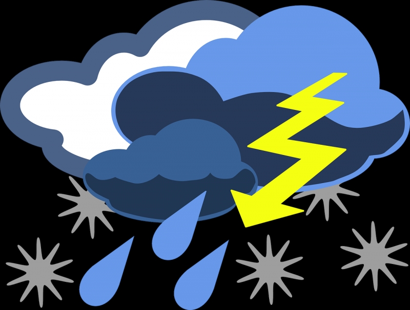
A Colorado Low pressure system is expected to intensify into an early spring storm as it races across Southern and Central Ontario tonight.
This weather system will bring a rainfall of 15 to 30 millimetres, most of which will fall tonight. Locally higher rainfall amounts are possible over localities that receive a thunderstorm.
A sharp arctic cold front associated with the Colorado Low will blast across the region early Wednesday morning, with very strong southwesterly winds heralding its arrival. Wind gusts as high as 100 km/h are possible early Wednesday morning, especially near Lake Erie.
Local power outages may be issues to deal with due to the very strong winds.
Wind warnings may be issued as this event draws nearer.
Please continue to monitor alerts and forecasts issued by Environment Canada. To report severe weather, send an email to ec.cpio-tempetes-ospc-storms.ec@canada.ca or tweet reports using #ONStorm.
